
Hello again, this time from a remote campsite in the Yukon Territories. I’ve put some long miles on in the last few days, and with yesterday’s weather being cold and rainy I decided to find a remote, or dispersed campsite for a few days. Dispersed means free…I like the sound of free at this point with the Canadien costs being way too high. What I do like is the exchange rate. With the exchange rate between currency at $1.36 Canadien to $1.00 US as of this second…not spending cash and charging it is definitely the way to go as the CC company does the exchange for me. Problem is, in the Yukon and NW Territory’s any campsite that’s private and takes a credit card, is catered more for 3-bed, 2 1/2 bath rolling palaces than my red-neck rig. There are lots of Provincial campsites but they are not staffed and on a first-come, first-serve basis and cash only. So, hence, this free campsite will do for me for a few days.
Where’ve you been
When I left you last time I was at the Sikanni River Camp which is further south on the Alaskan Highway. I headed north on Tuesday morning destined for Old Fort Nelson where the road turns west towards the Northern Rockies.
I need to stop and explain
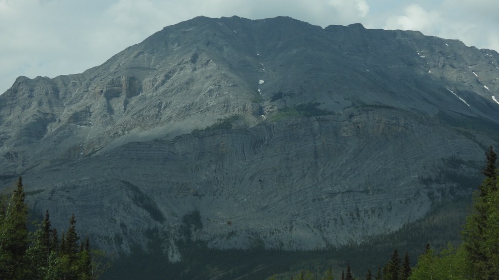
The above photo doesn’t do a very good job, unless you click on it to enlarge, and then expand the image again yourself with your fingers in order to see the beauty and wonderment of the stone formations in this area. I have maybe seen something similar to this in the southern Rockies, like Arizona, but I know it could not be as defined as the stone in this area. So I’m not a scientist, but I know the Rockies were formed when two continental plates pushed together forcing the earth to raise skyward. Following this there was volcanic activities where the ash solidified creating layers of solid sentiment. When you look at this photo you can see the lines from the formed layers creating some swirled affects, but also if you could stand and look for miles through the passes, you can see how the lines start at the lower level and rise up and then back down several miles down. Simply amazing. Due to the lighting at the time, and the smoke in the area, photographs cannot clearly depict what I’m really explaining. Guess it’s another road trip you’ll have to take yourself to experience.
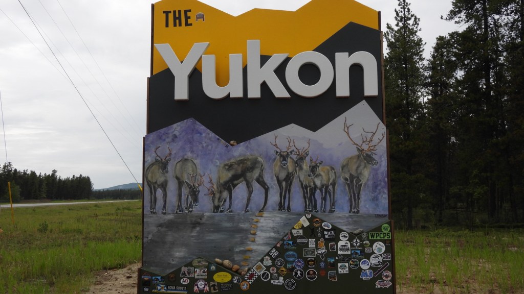
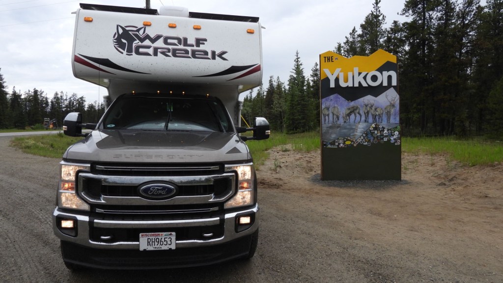
Welcome to the Yukon
Long drive to reach this point but it feels like an accomplishment.
Watson Lake, Yukon
It’s possible you have seen images of the sign park in Watson Lake. Anything you’ve seen cannot explain how crazy and big this park is.
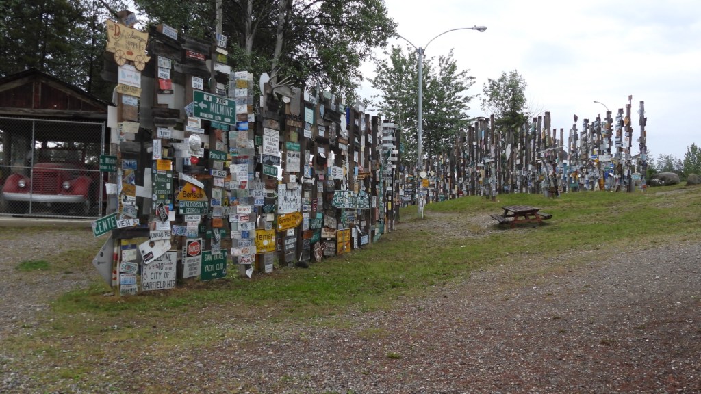


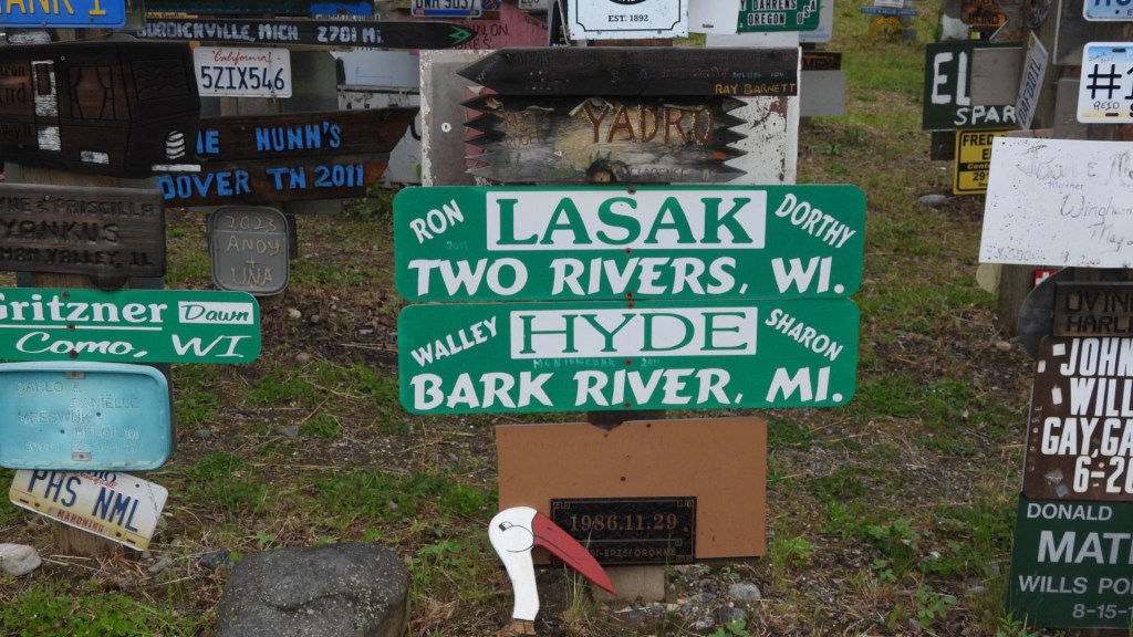
There are literally thousands of signs, from all over the world. I think, when I see the scope and size of this park, and stop and think where this park is, you can realize what a strange and quirky place this is to be. Understanding that there are really only three ways to reach this point, and understanding where this place is on the map, makes you stop and realize what a small world it is that we live in.
My original goal was to head north out of Watson Lake on Hwy 4, the Robert Campbell Highway, but fire had the road closed for an undetermined time so I’ll continue on the Alaskan Highway.
60th Parallel


What’s next?
So this brings me back where this chapter started. I’m still headed north on the globe. I feel I’m a bit ahead of schedule and timing is everything cause hanging out in Fairbanks will not be a cheap date. I’ve got a date of August 2 to meet two loved ones in Fairbanks, Alaska. But I do still have a long drive to one on the most remote places on the planet, Tuktoyaktuk, Northwest Territories which is what this trip has always been about to me. This is where North America reaches the Arctic Ocean. Once I reach the road to this place, known as the Dempster Highway, I’ll have more than 500 miles of gravel road driving, some in very rough condition. I’m planning on 10-15 days for this part of the trip. I have two longer days drive in the Yukon to reach the Dempster, that will be easy. This is what I came for, to reach a place I probably will not meet another person that can say they’ve been there.
So I’ll lay low here for a few days, watch out for bear and other wild creatures, before heading on.
As always, thank you for taking your time to follow along. And, as always, I appreciate the likes and comments. Until next time…Peace!
Fire, fire everywhere
Seems I’ve been chasing around trying to miss fires. I’ve received many likes for my videos, here’s a short portion of my drive through just another fire zone.

Leave a reply to Kim Cancel reply